
Thank you for supporting this site ❤️
Make a donation
Make a donation
Aat topographic map
Click on the map to display elevation.
Thank you for supporting this site ❤️
Make a donation
Make a donation
About this map
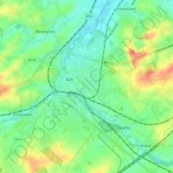
Name: Aat topographic map, elevation, terrain.
Location: Aat, Henegouwen, Wallonië, 7800, België (50.60177 3.74159 50.65600 3.82078)
Average elevation: 44 m
Minimum elevation: 24 m
Maximum elevation: 81 m
Thank you for supporting this site ❤️
Make a donation
Make a donation