
Thank you for supporting this site ❤️
Make a donation
Make a donation
Senarica topographic map
Click on the map to display elevation.
Thank you for supporting this site ❤️
Make a donation
Make a donation
About this map
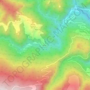
Name: Senarica topographic map, elevation, terrain.
Location: Senarica, Crognaleto, Teramo, Abruzzo, 64044, Italy (42.52764 13.49407 42.56764 13.53407)
Average elevation: 817 m
Minimum elevation: 437 m
Maximum elevation: 1,283 m
Thank you for supporting this site ❤️
Make a donation
Make a donation