
Bodinga topographic map
Interactive map
Click on the map to display elevation.
About this map
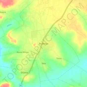
Name: Bodinga topographic map, elevation, terrain.
Location: Bodinga, Sokoto, Nigeria (12.80426 5.10637 12.88426 5.18637)
Average elevation: 288 m
Minimum elevation: 260 m
Maximum elevation: 326 m