
Baster topographic map
Interactive map
Click on the map to display elevation.
About this map
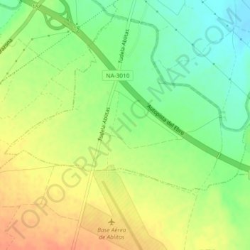
Name: Baster topographic map, elevation, terrain.
Location: Baster, Tudela, Ribera, 31521, España (42.00942 -1.63352 42.02942 -1.61352)
Average elevation: 309 m
Minimum elevation: 287 m
Maximum elevation: 330 m