
Thank you for supporting this site ❤️
Make a donation
Make a donation
Roe topographic map
Click on the map to display elevation.
Thank you for supporting this site ❤️
Make a donation
Make a donation
About this map
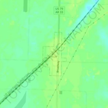
Name: Roe topographic map, elevation, terrain.
Location: Roe, Monroe County, Arkansas, 72134, United States (34.62612 -91.38947 34.63708 -91.38227)
Average elevation: 63 m
Minimum elevation: 55 m
Maximum elevation: 68 m
Thank you for supporting this site ❤️
Make a donation
Make a donation