
Mont Singer topographic map
Click on the map to display elevation.
About this map
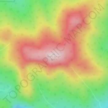
Name: Mont Singer topographic map, elevation, terrain.
Location: Mont Singer, Potton, Memphrémagog, Estrie, Quebec, Canada (45.13351 -72.45630 45.13361 -72.45620)
Average elevation: 603 m
Minimum elevation: 387 m
Maximum elevation: 800 m