
Thank you for supporting this site ❤️
Make a donation
Make a donation
Gromberg topographic map
Click on the map to display elevation.
Thank you for supporting this site ❤️
Make a donation
Make a donation
About this map
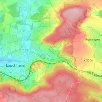
Name: Gromberg topographic map, elevation, terrain.
Average elevation: 569 m
Minimum elevation: 482 m
Maximum elevation: 656 m
Thank you for supporting this site ❤️
Make a donation
Make a donation
Other topographic maps
Click on a map to view its topography, its elevation and its terrain.
Kapfenburg
Deutschland > Baden-Württemberg > Ostalbkreis > Lauchheim > Domäne Kapfenburg
Average elevation: 559 m