
Kaduna topographic map
Click on the map to display elevation.
About this map
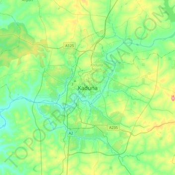
Name: Kaduna topographic map, elevation, terrain.
Location: Kaduna, Kabala, Kaduna North, Kaduna State, 800211, Nigeria (10.35829 7.27599 10.67829 7.59599)
Average elevation: 615 m
Minimum elevation: 559 m
Maximum elevation: 772 m
Other topographic maps
Click on a map to view its topography, its elevation and its terrain.