
West Kalimantan topographic map
Interactive map
Click on the map to display elevation.
About this map
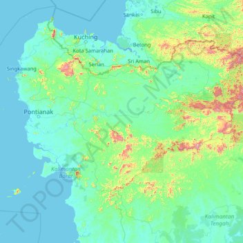
Name: West Kalimantan topographic map, elevation, terrain.
Location: West Kalimantan, Indonesia (-2.69224 108.53689 2.42776 113.65689)
Average elevation: 111 m
Minimum elevation: -4 m
Maximum elevation: 1,992 m