
Thank you for supporting this site ❤️
Make a donation
Make a donation
Küntrop topographic map
Click on the map to display elevation.
Thank you for supporting this site ❤️
Make a donation
Make a donation
Küntrop
Der Ort liegt im Sauerland etwa zwei Kilometer östlich der Kleinstadt Neuenrade im Märkischen Kreis. Die Höhe des Ortes liegt bei etwa 285 m ü. NHN im Tal der hier noch jungen Hönne und steigt bis auf 499 m am Küntroper Berg an. Zur Etymologie von -trop siehe hier.
Thank you for supporting this site ❤️
Make a donation
Make a donation
About this map
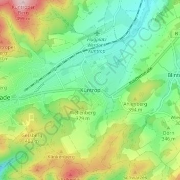
Name: Küntrop topographic map, elevation, terrain.
Average elevation: 341 m
Minimum elevation: 253 m
Maximum elevation: 505 m
Thank you for supporting this site ❤️
Make a donation
Make a donation