
Thank you for supporting this site ❤️
Make a donation
Make a donation
Avu topographic map
Click on the map to display elevation.
Thank you for supporting this site ❤️
Make a donation
Make a donation
About this map
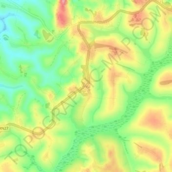
Name: Avu topographic map, elevation, terrain.
Location: Avu, Mahagi, Ituri, Democratic Republic of the Congo (2.16640 30.70755 2.20640 30.74755)
Average elevation: 1,744 m
Minimum elevation: 1,683 m
Maximum elevation: 1,813 m
Thank you for supporting this site ❤️
Make a donation
Make a donation