
Thank you for supporting this site ❤️
Make a donation
Make a donation
Gestel topographic map
Click on the map to display elevation.
Thank you for supporting this site ❤️
Make a donation
Make a donation
Gestel
Gestel ligt op een hoogte van 5-10 meter aan de Grote Nete.
Thank you for supporting this site ❤️
Make a donation
Make a donation
About this map
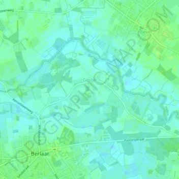
Name: Gestel topographic map, elevation, terrain.
Location: Gestel, Berlaar, Mechelen, Antwerpen, Vlaanderen, België (51.11989 4.64681 51.13521 4.68802)
Average elevation: 6 m
Minimum elevation: 1 m
Maximum elevation: 11 m
Thank you for supporting this site ❤️
Make a donation
Make a donation