
Thank you for supporting this site ❤️
Make a donation
Make a donation
Ичера topographic map
Click on the map to display elevation.
Thank you for supporting this site ❤️
Make a donation
Make a donation
About this map
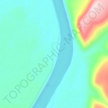
Name: Ичера topographic map, elevation, terrain.
Average elevation: 275 m
Minimum elevation: 205 m
Maximum elevation: 552 m
Thank you for supporting this site ❤️
Make a donation
Make a donation
Other topographic maps
Click on a map to view its topography, its elevation and its terrain.
Lena River
Russia > Irkutsk Oblast > Киренский район
The Lena originates at 1,640 meters (5,381 ft) of elevation in the Baikal Mountains, 7 kilometres (4 mi) west of Lake Baikal, south of the Central Siberian Plateau. The Lena flows north-east and traverses the Lena-Angara Plateau, then is joined by three tributary rivers: (i) the Kirenga, (ii) the Vitim, and…
Average elevation: 347 m