
Santa Clara topographic map
Interactive map
Click on the map to display elevation.
About this map
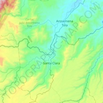
Name: Santa Clara topographic map, elevation, terrain.
Location: Santa Clara, Pastaza, Ecuador (-1.32513 -77.97081 -1.14751 -77.72357)
Average elevation: 810 m
Minimum elevation: 454 m
Maximum elevation: 1,916 m