
Benenden topographic map
Interactive map
Click on the map to display elevation.
About this map
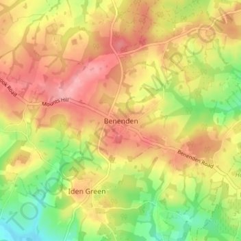
Name: Benenden topographic map, elevation, terrain.
Location: Benenden, Kent, South East, England, TN17 4DJ, United Kingdom (51.04761 0.56010 51.08761 0.60010)
Average elevation: 73 m
Minimum elevation: 14 m
Maximum elevation: 119 m