
三角乡 topographic map
Interactive map
Click on the map to display elevation.
About this map
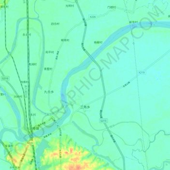
Name: 三角乡 topographic map, elevation, terrain.
Location: 三角乡, 永修县, 九江市, 江西省, 中国 (29.01970 115.82555 29.10967 115.93952)
Average elevation: 18 m
Minimum elevation: 9 m
Maximum elevation: 51 m
Other topographic maps
Click on a map to view its topography, its elevation and its terrain.