
Yerimaru topographic map
Click on the map to display elevation.
About this map
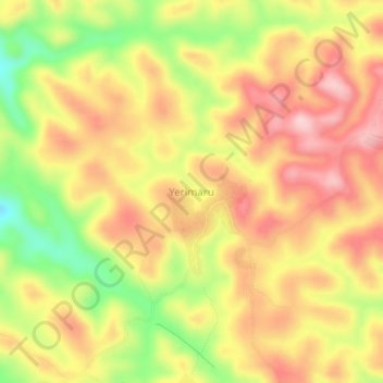
Name: Yerimaru topographic map, elevation, terrain.
Location: Yerimaru, Sardauna, Taraba State, Nigeria (6.78000 11.03000 6.82000 11.07000)
Average elevation: 1,446 m
Minimum elevation: 1,312 m
Maximum elevation: 1,544 m