
Thank you for supporting this site ❤️
Make a donation
Make a donation
Poquito Bayou topographic map
Click on the map to display elevation.
Thank you for supporting this site ❤️
Make a donation
Make a donation
About this map
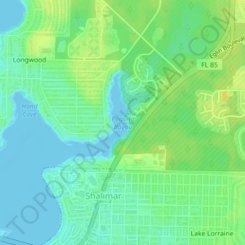
Name: Poquito Bayou topographic map, elevation, terrain.
Average elevation: 9 m
Minimum elevation: -1 m
Maximum elevation: 19 m
Thank you for supporting this site ❤️
Make a donation
Make a donation
Other topographic maps
Click on a map to view its topography, its elevation and its terrain.
Thank you for supporting this site ❤️
Make a donation
Make a donation
Eglin Air Force Base
United States > Florida > Okaloosa County
Eglin is known to have been used for 441 launches from 1959 to 1980, reaching up to 686 kilometers altitude.
Average elevation: 12 m
Thank you for supporting this site ❤️
Make a donation
Make a donation