
Thank you for supporting this site ❤️
Make a donation
Make a donation
Double Small Arches topographic map
Click on the map to display elevation.
Thank you for supporting this site ❤️
Make a donation
Make a donation
About this map
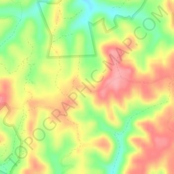
Name: Double Small Arches topographic map, elevation, terrain.
Location: Double Small Arches, Laurel County, Kentucky, United States (37.07568 -84.24600 37.07578 -84.24590)
Average elevation: 347 m
Minimum elevation: 291 m
Maximum elevation: 393 m
Thank you for supporting this site ❤️
Make a donation
Make a donation
Other topographic maps
Click on a map to view its topography, its elevation and its terrain.