
Thank you for supporting this site ❤️
Make a donation
Make a donation
Anderson topographic map
Click on the map to display elevation.
Thank you for supporting this site ❤️
Make a donation
Make a donation
About this map
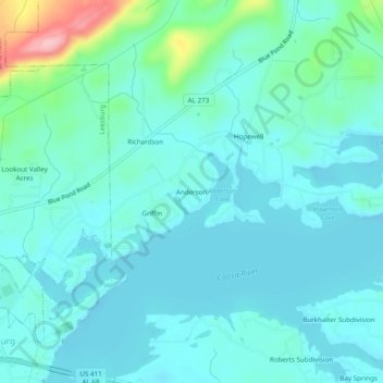
Name: Anderson topographic map, elevation, terrain.
Location: Anderson, Cherokee County, Alabama, 35983, United States (34.17537 -85.75663 34.21537 -85.71663)
Average elevation: 188 m
Minimum elevation: 163 m
Maximum elevation: 315 m
Thank you for supporting this site ❤️
Make a donation
Make a donation
Other topographic maps
Click on a map to view its topography, its elevation and its terrain.