
Keran topographic map
Interactive map
Click on the map to display elevation.
About this map
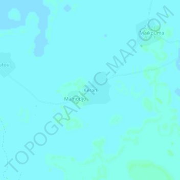
Name: Keran topographic map, elevation, terrain.
Location: Keran, Mandoul, Chad (8.25870 17.48553 8.29870 17.52553)
Average elevation: 388 m
Minimum elevation: 387 m
Maximum elevation: 391 m