
Thank you for supporting this site ❤️
Make a donation
Make a donation
Mont Paramana topographic map
Click on the map to display elevation.
Thank you for supporting this site ❤️
Make a donation
Make a donation
About this map
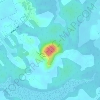
Name: Mont Paramana topographic map, elevation, terrain.
Location: Mont Paramana, Matoury, Cayenne, Guyane, 97351, France (4.81641 -52.33265 4.81651 -52.33255)
Average elevation: 9 m
Minimum elevation: 0 m
Maximum elevation: 86 m
Thank you for supporting this site ❤️
Make a donation
Make a donation