
Hyderabad topographic map
Interactive map
Click on the map to display elevation.
Hyderabad
Located at 25.367 °N latitude and 68.367 °E longitude with an elevation of 13 metres (43 ft), Hyderabad is located on the east bank of the Indus River and is roughly 150 kilometres (93 mi) away from Karachi, the provincial capital. Two of Pakistan's largest highways, the Indus Highway and the National Highway join at Hyderabad. Several towns surrounding the city include Kotri at 6.7 kilometres (4.2 mi), Jamshoro at 8.1 kilometres (5.0 mi), Hattri at 5.0 kilometres (3.1 mi) and Husri at 7.5 kilometres (4.7 mi).
About this map
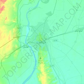
Name: Hyderabad topographic map, elevation, terrain.
Location: Hyderabad, Hyderābād District, Sindh, 91000, Pakistan (25.22010 68.21504 25.54010 68.53504)
Average elevation: 28 m
Minimum elevation: 8 m
Maximum elevation: 136 m