
Ekiti South-West topographic map
Interactive map
Click on the map to display elevation.
About this map
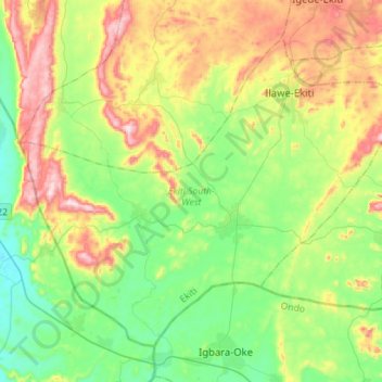
Name: Ekiti South-West topographic map, elevation, terrain.
Location: Ekiti South-West, Ekiti State, Nigeria (7.41370 4.90639 7.63967 5.18789)
Average elevation: 432 m
Minimum elevation: 261 m
Maximum elevation: 750 m
Other topographic maps
Click on a map to view its topography, its elevation and its terrain.