
Thank you for supporting this site ❤️
Make a donation
Make a donation
Demott Lake topographic map
Click on the map to display elevation.
Thank you for supporting this site ❤️
Make a donation
Make a donation
About this map
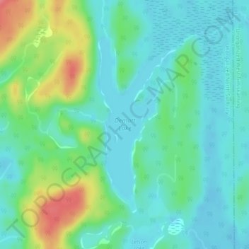
Name: Demott Lake topographic map, elevation, terrain.
Average elevation: 394 m
Minimum elevation: 373 m
Maximum elevation: 451 m
Thank you for supporting this site ❤️
Make a donation
Make a donation
Other topographic maps
Click on a map to view its topography, its elevation and its terrain.
Hubbard Creek
Canada > Ontario > Sudbury District > Unorganized North Sudbury
Average elevation: 457 m
Chiniguchi River
Canada > Ontario > Sudbury District > Unorganized North Sudbury
Average elevation: 260 m
Whitefish Falls
Canada > Ontario > Sudbury District > Unorganized North Sudbury
Average elevation: 205 m
Thank you for supporting this site ❤️
Make a donation
Make a donation