
Thank you for supporting this site ❤️
Make a donation
Make a donation
Le Maïdo topographic map
Click on the map to display elevation.
Thank you for supporting this site ❤️
Make a donation
Make a donation
About this map
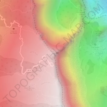
Name: Le Maïdo topographic map, elevation, terrain.
Location: Le Maïdo, Saint-Paul, La Réunion, France (-21.06889 55.38750 -21.06879 55.38760)
Average elevation: 1,715 m
Minimum elevation: 643 m
Maximum elevation: 2,286 m
Thank you for supporting this site ❤️
Make a donation
Make a donation
Other topographic maps
Click on a map to view its topography, its elevation and its terrain.
Ravine Saint-Gilles
France > La Réunion > Saint-Paul > Saint-Gilles-les-Hauts > Village de l'Éperon
Average elevation: 310 m
Thank you for supporting this site ❤️
Make a donation
Make a donation