
Nteje topographic map
Click on the map to display elevation.
About this map
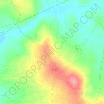
Name: Nteje topographic map, elevation, terrain.
Location: Nteje, Oyi, Anambra State, Nigeria (6.25250 6.90331 6.29250 6.94331)
Average elevation: 87 m
Minimum elevation: 45 m
Maximum elevation: 148 m