
Make a donation
Fort Matanzas topographic map
Click on the map to display elevation.
Make a donation
About this map
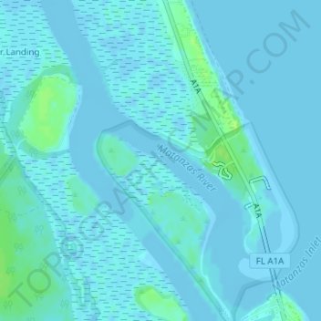
Name: Fort Matanzas topographic map, elevation, terrain.
Average elevation: 2 m
Minimum elevation: -4 m
Maximum elevation: 10 m
Make a donation
Other topographic maps
Click on a map to view its topography, its elevation and its terrain.
Julington Creek Plantation Park
United States > Florida > Saint Johns County > Fruit Cove
Average elevation: 7 m
Vermont Heights
United States > Florida > Saint Johns County
Vermont Heights is located at 29°48′36″N 81°23′50″W / 29.81°N 81.3972°W / 29.81; -81.3972 (29.81, -81.3972) Elevation of 46 Feet. Vermont Heights is the location of the Coquina Crossing Mobile Home Park and St. Augustine Community School of Performing Arts, both of which give their…
Average elevation: 13 m
Make a donation
Castillo de San Marcos
United States > Florida > Saint Johns County > Saint Augustine
Average elevation: 2 m
Make a donation
Twelve Mile Swamp Conservation Area
United States > Florida > Saint Johns County
Average elevation: 8 m
Make a donation