
Omaha topographic map
Interactive map
Click on the map to display elevation.
About this map
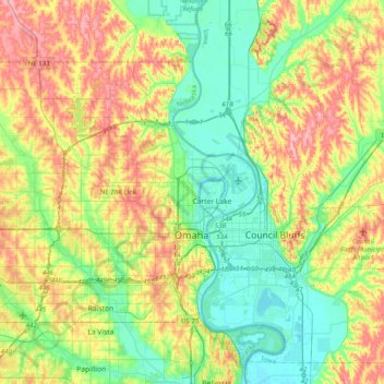
Name: Omaha topographic map, elevation, terrain.
Location: Omaha, Douglas County, Nebraska, USA (41.19059 -96.26820 41.39306 -95.87114)
Average elevation: 338 m
Minimum elevation: 291 m
Maximum elevation: 413 m