
Thank you for supporting this site ❤️
Make a donation
Make a donation
Kindhausen topographic map
Click on the map to display elevation.
Thank you for supporting this site ❤️
Make a donation
Make a donation
About this map
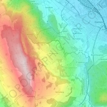
Name: Kindhausen topographic map, elevation, terrain.
Location: Kindhausen, Bergdietikon, Bezirk Baden, Aargau, 8962, Schweiz (47.37513 8.35689 47.41513 8.39689)
Average elevation: 547 m
Minimum elevation: 381 m
Maximum elevation: 785 m
Thank you for supporting this site ❤️
Make a donation
Make a donation