
Thank you for supporting this site ❤️
Make a donation
Make a donation
Banyuning topographic map
Click on the map to display elevation.
Thank you for supporting this site ❤️
Make a donation
Make a donation
About this map
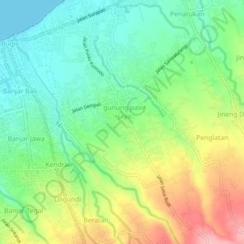
Name: Banyuning topographic map, elevation, terrain.
Location: Banyuning, Buleleng, Bali, 81111, Indonesia (-8.13711 115.08799 -8.09711 115.12799)
Average elevation: 55 m
Minimum elevation: 0 m
Maximum elevation: 144 m
Thank you for supporting this site ❤️
Make a donation
Make a donation
Other topographic maps
Click on a map to view its topography, its elevation and its terrain.