
Thank you for supporting this site ❤️
Make a donation
Make a donation
Smithson Valley topographic map
Click on the map to display elevation.
Thank you for supporting this site ❤️
Make a donation
Make a donation
About this map
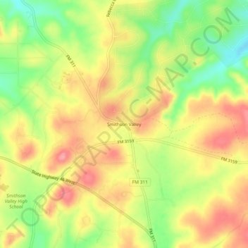
Name: Smithson Valley topographic map, elevation, terrain.
Location: Smithson Valley, Comal County, Texas, 78131, United States (29.79300 -98.35724 29.83300 -98.31724)
Average elevation: 388 m
Minimum elevation: 335 m
Maximum elevation: 431 m
Thank you for supporting this site ❤️
Make a donation
Make a donation
Other topographic maps
Click on a map to view its topography, its elevation and its terrain.