
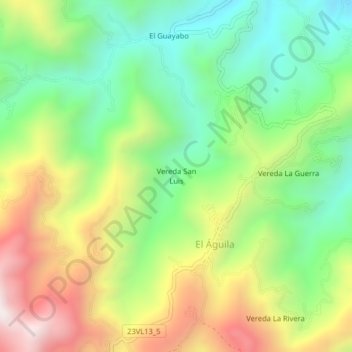
Vereda San Luis topographic map
Interactive map
Click on the map to display elevation.
About this map
Name: Vereda San Luis topographic map, elevation, terrain.
Location: Vereda San Luis, El Águila, Norte, Valle del Cauca, Colombia (4.89550 -76.06655 4.93550 -76.02655)
Average elevation: 1,630 m
Minimum elevation: 1,197 m
Maximum elevation: 2,263 m