
Thank you for supporting this site ❤️
Make a donation
Make a donation
Salkha topographic map
Click on the map to display elevation.
Thank you for supporting this site ❤️
Make a donation
Make a donation
About this map
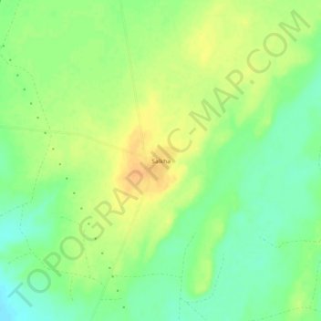
Name: Salkha topographic map, elevation, terrain.
Location: Salkha, Jaisalmer Tehsil, Jaisalmer, Rajasthan, India (26.89692 70.57980 26.93692 70.61980)
Average elevation: 205 m
Minimum elevation: 189 m
Maximum elevation: 219 m
Thank you for supporting this site ❤️
Make a donation
Make a donation
Other topographic maps
Click on a map to view its topography, its elevation and its terrain.