
Thank you for supporting this site ❤️
Make a donation
Make a donation
Flower Mountain topographic map
Click on the map to display elevation.
Thank you for supporting this site ❤️
Make a donation
Make a donation
About this map
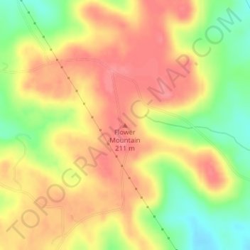
Name: Flower Mountain topographic map, elevation, terrain.
Location: Flower Mountain, Nacogdoches County, Texas, United States (31.76096 -94.80915 31.76106 -94.80905)
Average elevation: 183 m
Minimum elevation: 138 m
Maximum elevation: 213 m
Thank you for supporting this site ❤️
Make a donation
Make a donation
Other topographic maps
Click on a map to view its topography, its elevation and its terrain.