
Thank you for supporting this site ❤️
Make a donation
Make a donation
Piton de Mont Vert topographic map
Click on the map to display elevation.
Thank you for supporting this site ❤️
Make a donation
Make a donation
About this map
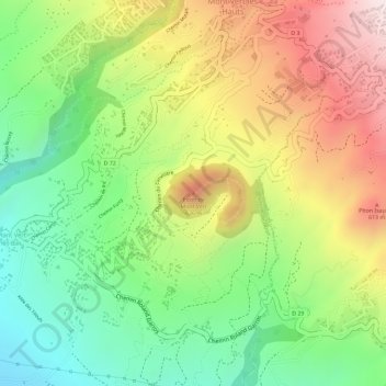
Name: Piton de Mont Vert topographic map, elevation, terrain.
Location: Piton de Mont Vert, Saint-Pierre, La Réunion, 97429, France (-21.32783 55.53869 -21.32773 55.53879)
Average elevation: 476 m
Minimum elevation: 256 m
Maximum elevation: 727 m
Thank you for supporting this site ❤️
Make a donation
Make a donation
Other topographic maps
Click on a map to view its topography, its elevation and its terrain.