
Jacka Glacier topographic map
Interactive map
Click on the map to display elevation.
About this map
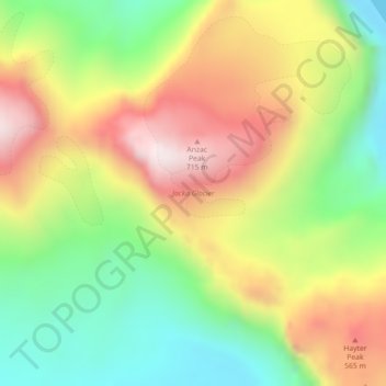
Name: Jacka Glacier topographic map, elevation, terrain.
Location: Jacka Glacier, Heard Island and McDonald Islands, Australia (-53.00328 73.31295 -52.99989 73.32153)
Average elevation: 308 m
Minimum elevation: -3 m
Maximum elevation: 670 m
Other topographic maps
Click on a map to view its topography, its elevation and its terrain.