
Thank you for supporting this site ❤️
Make a donation
Make a donation
Antioch topographic map
Click on the map to display elevation.
Thank you for supporting this site ❤️
Make a donation
Make a donation
About this map
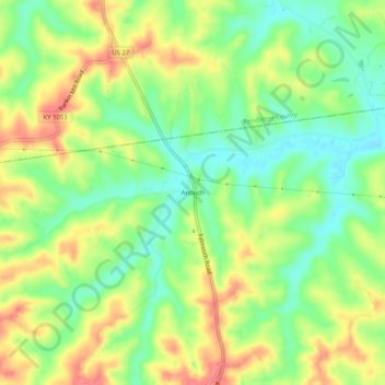
Name: Antioch topographic map, elevation, terrain.
Location: Antioch, Harrison County, Kentucky, United States (38.54646 -84.31271 38.58646 -84.27271)
Average elevation: 233 m
Minimum elevation: 200 m
Maximum elevation: 271 m
Thank you for supporting this site ❤️
Make a donation
Make a donation
Other topographic maps
Click on a map to view its topography, its elevation and its terrain.