
溉澜溪 topographic map
Interactive map
Click on the map to display elevation.
About this map
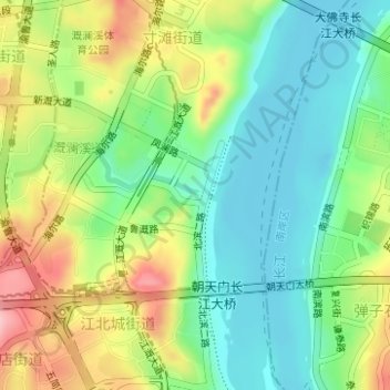
Name: 溉澜溪 topographic map, elevation, terrain.
Location: 溉澜溪, 江北区, 重庆市, 400010, 中国 (29.59452 106.57074 29.59493 106.57222)
Average elevation: 211 m
Minimum elevation: 153 m
Maximum elevation: 307 m
Other topographic maps
Click on a map to view its topography, its elevation and its terrain.