
Thank you for supporting this site ❤️
Make a donation
Make a donation
Labish Center topographic map
Click on the map to display elevation.
Thank you for supporting this site ❤️
Make a donation
Make a donation
About this map
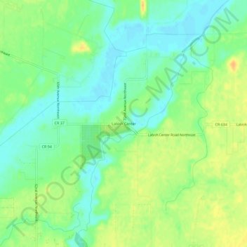
Name: Labish Center topographic map, elevation, terrain.
Location: Labish Center, Marion County, Oregon, United States (45.01124 -122.93285 45.05124 -122.89285)
Average elevation: 51 m
Minimum elevation: 37 m
Maximum elevation: 68 m
Thank you for supporting this site ❤️
Make a donation
Make a donation
Other topographic maps
Click on a map to view its topography, its elevation and its terrain.
Thank you for supporting this site ❤️
Make a donation
Make a donation
Thank you for supporting this site ❤️
Make a donation
Make a donation
Mount Angel
United States > Oregon > Marion County > Mount Angel
Rev. Fr. Adelhelm Odermatt, O.S.B., came to Oregon in 1881 with a contingent of Benedictine monks from Engelberg, Switzerland, in order to establish a new American daughter house. After visiting several locations, he found Lone Butte to be the ideal location for a new abbey, and shortly afterwards ministered…
Average elevation: 58 m
Thank you for supporting this site ❤️
Make a donation
Make a donation