
Thompsons topographic map
Click on the map to display elevation.
About this map
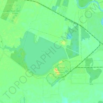
Name: Thompsons topographic map, elevation, terrain.
Location: Thompsons, Fort Bend County, Texas, United States (29.46805 -95.66540 29.51732 -95.57537)
Average elevation: 22 m
Minimum elevation: 10 m
Maximum elevation: 45 m
Other topographic maps
Click on a map to view its topography, its elevation and its terrain.
Brazos Bend State Park
United States > Texas > Fort Bend County > Alvin
Brazos Bend State Park occupies land bordering the Brazos River and includes within its boundaries low-lying areas left over from the River's previous meanderings. Pre-Columbian inhabitants included a series of Native American groups, most notably the Karankawa. The land passed through a variety of landowners'…
Average elevation: 17 m
Sienna (Brazos River) Park
United States > Texas > Fort Bend County > Missouri City
Average elevation: 20 m