
赛图拉镇 topographic map
Interactive map
Click on the map to display elevation.
About this map
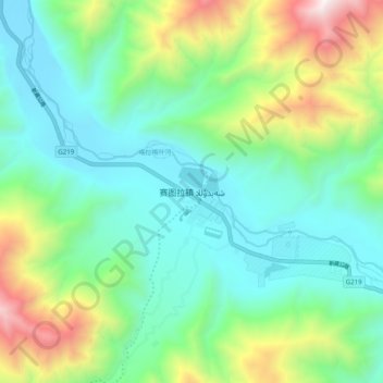
Name: 赛图拉镇 topographic map, elevation, terrain.
Location: 赛图拉镇, 皮山县, 和田地区, 新疆维吾尔自治区, 中国 (36.31211 77.98804 36.39211 78.06804)
Average elevation: 4,062 m
Minimum elevation: 3,599 m
Maximum elevation: 5,275 m
Other topographic maps
Click on a map to view its topography, its elevation and its terrain.