
Thank you for supporting this site ❤️
Make a donation
Make a donation
Appin Road topographic map
Click on the map to display elevation.
Thank you for supporting this site ❤️
Make a donation
Make a donation
About this map
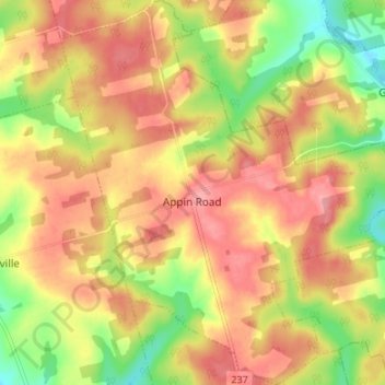
Name: Appin Road topographic map, elevation, terrain.
Location: Appin Road, Queens County, Prince Edward Island, Canada (46.21871 -63.41966 46.26504 -63.35669)
Average elevation: 79 m
Minimum elevation: 20 m
Maximum elevation: 121 m
Thank you for supporting this site ❤️
Make a donation
Make a donation
Other topographic maps
Click on a map to view its topography, its elevation and its terrain.