
Thank you for supporting this site ❤️
Make a donation
Make a donation
Axien topographic map
Click on the map to display elevation.
Thank you for supporting this site ❤️
Make a donation
Make a donation
About this map
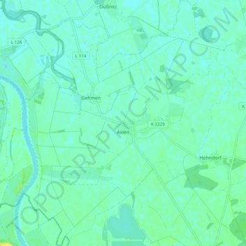
Name: Axien topographic map, elevation, terrain.
Location: Axien, Annaburg, Wittenberg, Sachsen-Anhalt, Deutschland (51.67222 12.82965 51.73210 12.92538)
Average elevation: 76 m
Minimum elevation: 71 m
Maximum elevation: 88 m
Thank you for supporting this site ❤️
Make a donation
Make a donation