
Yojoa topographic map
Interactive map
Click on the map to display elevation.
About this map
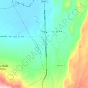
Name: Yojoa topographic map, elevation, terrain.
Location: Yojoa, Santa Cruz de Yojoa, Cortés, Honduras (14.99547 -87.96967 15.07547 -87.88967)
Average elevation: 184 m
Minimum elevation: 45 m
Maximum elevation: 585 m