
Thank you for supporting this site ❤️
Make a donation
Make a donation
Dwight topographic map
Click on the map to display elevation.
Thank you for supporting this site ❤️
Make a donation
Make a donation
About this map
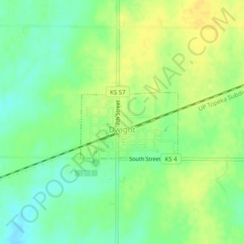
Name: Dwight topographic map, elevation, terrain.
Location: Dwight, Morris County, Kansas, 66849, United States (38.84116 -96.59926 38.84929 -96.58539)
Average elevation: 457 m
Minimum elevation: 444 m
Maximum elevation: 469 m
Thank you for supporting this site ❤️
Make a donation
Make a donation