
Thank you for supporting this site ❤️
Make a donation
Make a donation
Vahr topographic map
Click on the map to display elevation.
Thank you for supporting this site ❤️
Make a donation
Make a donation
Vahr
Die Vahrer (Vurholter) Feldmark mit 700 Hektar lehmhaltigen Boden auf Sand wurde im Auftrag des Bremer Erzbischofs von Holländern, wie auch das nach ihnen genannte Gebiet Hollerland, ab 1113 urbar gemacht. Garten- und Ackerbau mit Weizenanbau konnten auf den ein wenig höheren Flächen nun zumeist stattfinden. Die Fleete führten nordwestlich zum Vahrer Fleet.
Thank you for supporting this site ❤️
Make a donation
Make a donation
About this map
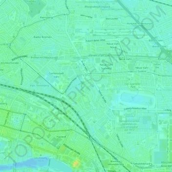
Name: Vahr topographic map, elevation, terrain.
Location: Vahr, Bremen-Ost, Bremen, 28329, Deutschland (53.06564 8.85409 53.08702 8.91406)
Average elevation: 7 m
Minimum elevation: 0 m
Maximum elevation: 22 m
Thank you for supporting this site ❤️
Make a donation
Make a donation
Other topographic maps
Click on a map to view its topography, its elevation and its terrain.