
Torsåker topographic map
Interactive map
Click on the map to display elevation.
About this map
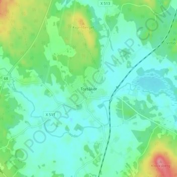
Name: Torsåker topographic map, elevation, terrain.
Location: Torsåker, Hofors kommun, Provinz Gävleborg, 81340, Schweden (60.49324 16.45532 60.53324 16.49532)
Average elevation: 86 m
Minimum elevation: 62 m
Maximum elevation: 158 m