
Thank you for supporting this site ❤️
Make a donation
Make a donation
The Pyramids topographic map
Click on the map to display elevation.
Thank you for supporting this site ❤️
Make a donation
Make a donation
About this map
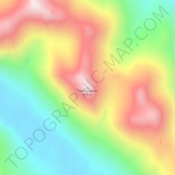
Name: The Pyramids topographic map, elevation, terrain.
Location: The Pyramids, Sitka, Alaska, United States (56.93995 -135.28364 56.94005 -135.28354)
Average elevation: 413 m
Minimum elevation: 63 m
Maximum elevation: 831 m
Thank you for supporting this site ❤️
Make a donation
Make a donation
Other topographic maps
Click on a map to view its topography, its elevation and its terrain.