
Sarriguren topographic map
Interactive map
Click on the map to display elevation.
About this map
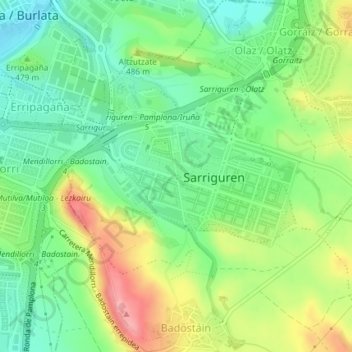
Name: Sarriguren topographic map, elevation, terrain.
Location: Sarriguren, Valle de Egüés, Comarca de Pamplona, 31621, España (42.80316 -1.60871 42.81814 -1.58403)
Average elevation: 466 m
Minimum elevation: 422 m
Maximum elevation: 536 m